Analytical Products
METCON is continuously working on new and innovative projects to better serve our customers and client base. Below are listings of several of our analytical products currently available to our customers.

Flood Forecast Model
Our proprietary flood forecast model provides a day by day flood forecast out 5 days for the world. This flood model uses satellite derived precipitation in conjunction with the NOAA Global Forecast System precipitation forecast while taking into consideration elevation and typical regional precipitation. These maps indicate flooding potential by categorizing the flood risk as no significant flooding, possible flooding, probable flooding, flooding, or significant flooding.

Tropical Analysis
METCON has the ability to provide Hurricane/Typhoon reports for any tropical storm system across the globe. This report includes a tailored text forecast, the latest advisory/warning information, storm track, wind forecast, 7-day total precipitation forecast, 5-day flood forecast, 48 hour forecast radar data, flood inundation (where available), and a satellite image of the system.
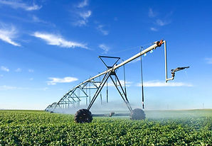
Seasonal Analysis
Our seasonal analysis includes a variety of products including growing degree days, heating degree days, cooling degree days, seasonal rainfall, seasonal temperatures and many more. This products can be analyzed for any seasonal time period and region specified by the customer and can be applied to a range of disciplines and are especially useful for crop production and monitoring.

Snow Model
Our proprietary snow model produces current snow depth, snow melt/runoff, and the day-to-day difference in snow cover on a regional basis. The snow model also provides a day-to-day forecast out 7 days which includes all of the parameters listed previously.

Drought Model
METCON provides drought analysis for the world, which is updated on a monthly basis. Our drought product is also available for a forecast period up to 3 months. The drought categories used in the analysis are based on the North American Drought Monitor.